Metro Phoenix / Communities / San Tan Valley
San Tan Valley Overview
Located in the southeast region of Metro Phoenix, San Tan Valley is the largest community within one of the fastest-growing counties in the country. San Tan Valley is not incorporated but is officially recognized as a census-designated place (CDP) in northeastern Pinal County.
History
In the late 19th and early 20th centuries, Pinal County was largely agricultural. Farms and ranches were established in the area due to fertile land, with cotton, alfalfa, and other crops being the primary agricultural products.
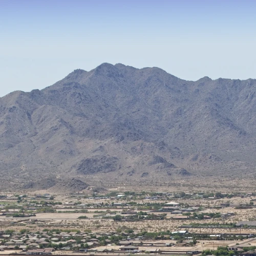
The area that is now San Tan Valley was once inhabited by the Hohokam people, who left behind evidence of their irrigation systems and agricultural practices. The surrounding region, especially the nearby San Tan Mountains, has historical significance as these mountains provided resources for early inhabitants.
City Government
San Tan Valley, being part of an unincorporated area of Pinal County, does not have its own municipal government like a city or town. Instead, it falls under the jurisdiction of Pinal County’s government for local services and governance. The county provides services such as law enforcement, road maintenance, and other community services typically managed by a municipal government.
Business
Personal services, residential services, retail, and new home development are significant in San Tan Valley. There is also increasing demand for restaurants, cafes, and casual dining establishments. As more people work remotely, San Tan Valley is becoming a desirable location for remote workers who seek affordable housing and a suburban lifestyle. This opens opportunities for co-working spaces, tech-related services, and businesses that support the growing remote workforce.
Transportation
San Tan Valley is primarily served by a network of major roads and highways that provide access to neighboring communities in Metro Phoenix. Key transportation routes in and around San Tan Valley include:
Hunt Highway: Main north-south thoroughfare running through San Tan Valley, connecting it to Queen Creek, Florence, and other parts of Pinal County.
Ironwood Drive: Located on the western side of San Tan Valley, Ironwood Drive connects the area to US Route 60 (Superstition Freeway) to the north, which provides direct access to Mesa, Phoenix, and other parts of the Valley.
Gary Road: North-south route, running parallel to Ironwood Drive. Serves as a key access point to the residential neighborhoods of San Tan Valley, connecting with Hunt Highway in the south.
Gantzel Road: Major road intersecting with Hunt Highway; serves as a critical route heading north toward the US 60 and Phoenix-Mesa Gateway Airport via Ironwood Drive.
2023 Population (estimate)
San Tan Valley: 124,610
Arizona: 7,427,991
Median Household Income (2022)
San Tan Valley: $76,377
Arizona: $74,568
Estimated Home Value (2023)
San Tan Valley: $411,660
Arizona: $402,800
Median Age (2022)
San Tan Valley: 33.7
Arizona: 38.8
Land area: 75.80 square miles
Population density:
1,644 people per square mile


